Isla Cuale Puerto Vallarta
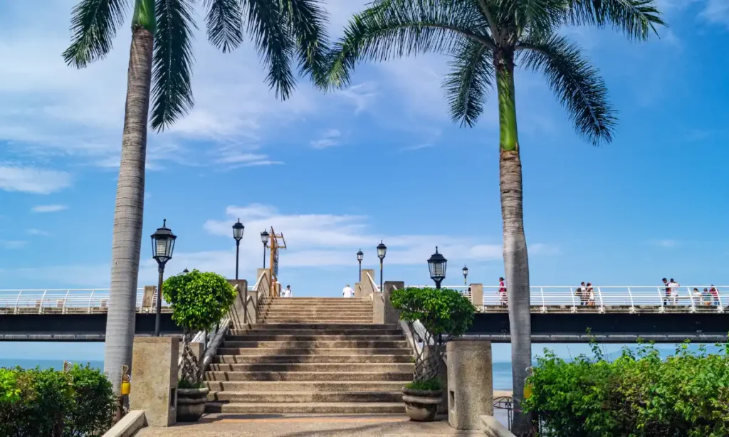
Downtown Puerto Vallarta can feel overwhelming when your time is limited and every block seems to offer something different. Many visitors wonder if Isla Cuale is worth stopping for when they only have a short window between other plans, cruise schedules, or tour departures. The island offers a calm break from busy streets, giving you […]
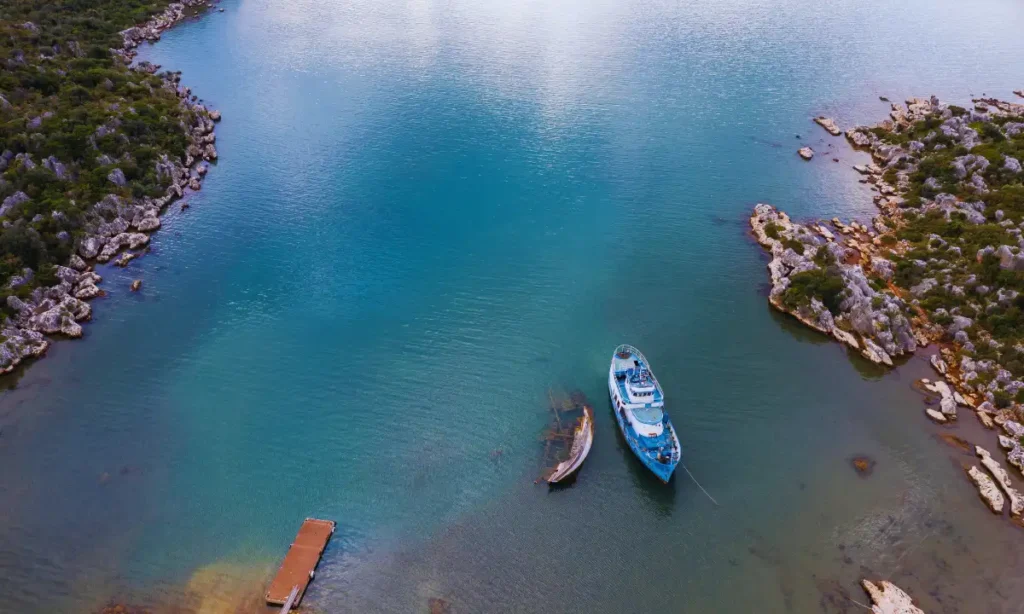
Chimo Village by Boat
Chimo is often described as one of the most remote excursions you can take from Puerto Vallarta, but what does that actually mean? Unlike popular stops such as Yelapa or Las Ánimas, Chimo is a small fishing village located well south of Banderas Bay, in a stretch of coastline that feels noticeably less developed. There […]
What is Temazcal in Puerto Vallarta? Choosing the Right Experience
Temazcal, an ancient and powerful healing ritual, has become a sought-after experience for many visitors to Puerto Vallarta. Whether you’re visiting for relaxation, spiritual growth, or physical rejuvenation, a Temazcal ceremony offers a unique opportunity to reconnect with Mother Earth, your mind, and your body. This Mesoamerican tradition, once central to the Aztecs and Mayan […]
Scuba Diving in Puerto Vallarta: Best Visibility in the Heart of the Pacific
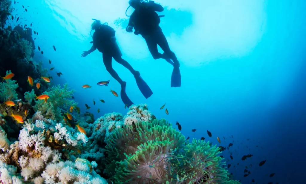
Puerto Vallarta is a true diver’s paradise, offering some of the best underwater experiences on Mexico’s Pacific Coast. While most tourists flock to the beaches and explore the vibrant city, the real magic of this coastal town is hidden beneath the surface. Puerto Vallarta boasts a rich marine ecosystem, with crystal-clear waters and diverse underwater […]
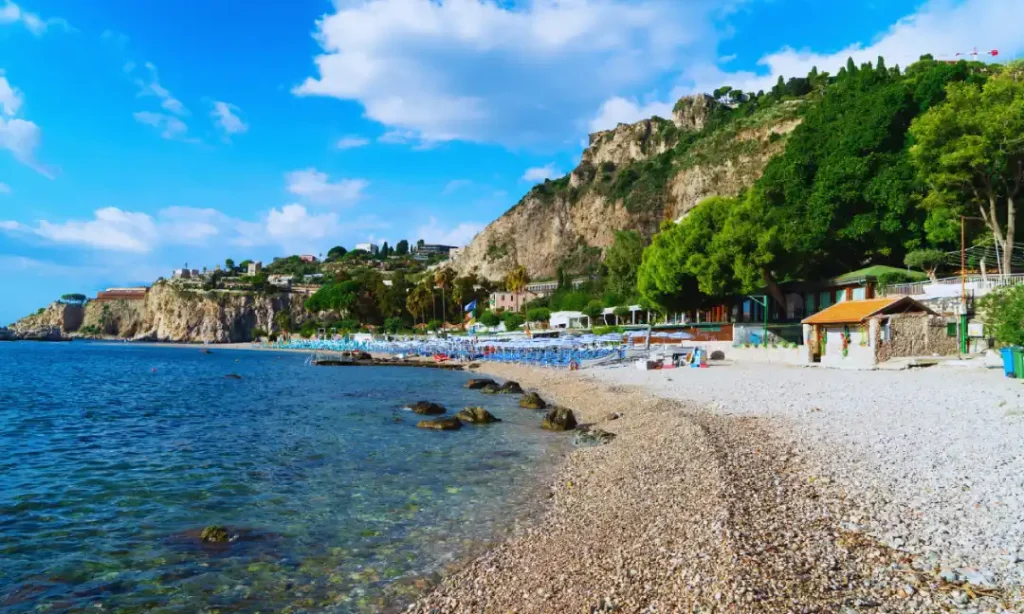
Boca de Tomatlán to Colomitos
Colomitos Beach is one of the smallest and most photographed beaches south of Puerto Vallarta. Its clear turquoise water, jungle backdrop, and compact cove setting make it feel secluded, even though it is only a short distance from Boca de Tomatlán. Because there is no road access, visitors must choose between hiking, taking a water […]
Las Ánimas Beach Club Day Trip
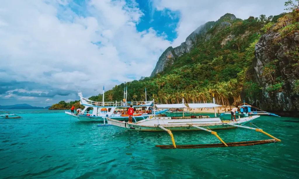
Las Ánimas Beach sits along the southern edge of Banderas Bay, about 12 kilometers south of downtown Puerto Vallarta. Unlike beaches accessible by road, Las Ánimas requires either a coastal hike or boat transportation, which immediately changes the experience. Arriving by water adds a sense of separation from the city and avoids the traffic common […]
San Pancho vs Lo de Marcos: Which Beach Town Should You Visit?
When planning a vacation on Mexico’s Pacific Coast, two small beach towns often come up as must-visit destinations: San Pancho and Lo de Marcos. Both towns are part of the Riviera Nayarit, just a short drive from the popular tourist destination of Puerto Vallarta, but they each offer their own unique experiences. Whether you’re after […]
Puerto Vallarta Jungle Tour in 1 Day
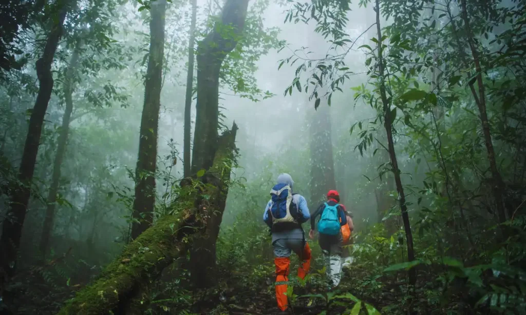
When it comes to Puerto Vallarta, many travellers imagine lounging on beautiful beaches or enjoying the city’s vibrant nightlife. But for those seeking something more adventurous, the jungle tours near the Sierra Madre Occidental mountains provide an exciting way to explore the region’s lush tropical environment. With many options available, it’s important to know how […]
Puerto Vallarta Hiking
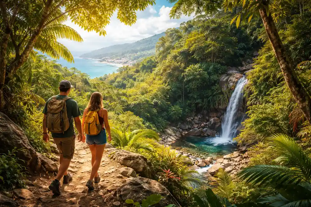
Puerto Vallarta is famous for its sun-drenched beaches, vibrant nightlife, and luxury resorts, but there’s so much more to explore beyond the typical tourist spots. Hiking in Puerto Vallarta offers the opportunity to experience nature at its finest, with hidden trails, waterfalls, and mountain vistas that most visitors miss. From the bustling Malecon to the […]
Los Arcos Puerto Vallarta
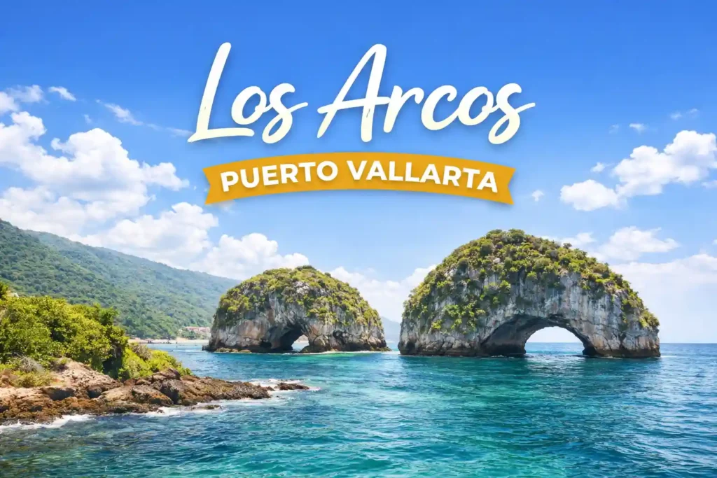
Many visitors arrive in Puerto Vallarta unsure which ocean experience is truly worth their time and money, especially with so many tours offering similar promises. Los Arcos National Marine Park consistently stands out because it combines dramatic rock formations, rich marine life, and easy access by boat, all within a short distance of the city. […]